
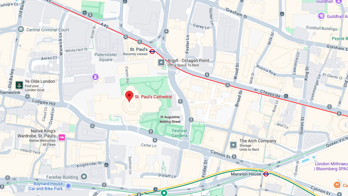
Detailed Google Maps view highlighting St. Paul’s Cathedral and surrounding streets, including Cheapside, Paternoster Square, New Change, Ludgate Hill, and nearby transport links such as St. Paul’s and Mansion House Underground Stations. Used to illustrate the coverage area for iRepairMan’s same-day mobile repair service in EC4M, EC2.